
Increasing efficiency in business operations is a goal all organisations strive for. After all, who wouldn’t want to maximise their resources, improve productivity, reduce costs, and enhance their customer service? That’s all well and good, but in a competitive marketplace, it’s often easier said than done.
I have more than 25 years of experience advising on the use of spatial data management solutions and have seen over the years just how the development of location data accuracy, and embedded metadata, are key enablers to digital transformation in the banking and financial services sector.
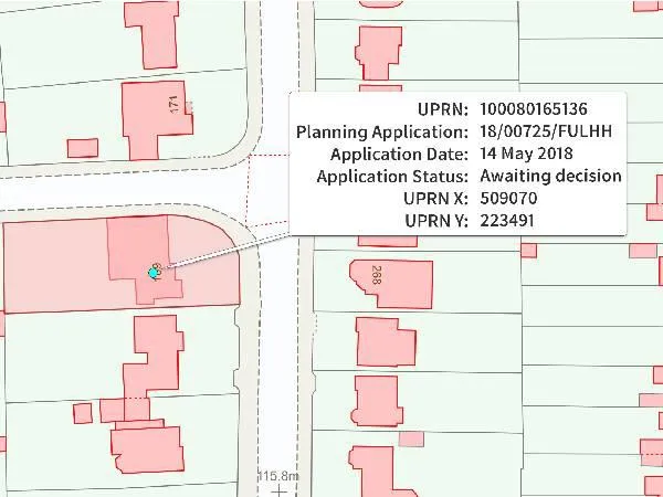
In an environment grounded on risk-based decisions, Unique Property Reference Numbers (UPRNs) have become one of the key tools to delivering these crucial efficiencies. Around for over 25 years, their availability has grown significantly since becoming open data and a government standard in 2020.
What is a UPRN?
UPRNs are a numeric identifier for every addressable location across the UK. This could include any kind of building, or an object that might not have a ‘normal’ address, such as a bus shelter or a utility service. The UPRN ensures everyone refers to the correct location which reduces the ambiguity of identifying a single flat in a block of flats or even finding an object that has no actual address. Plus, the great thing about UPRNs is that they exist throughout the property’s entire lifecycle – from planning through to demolition.
Not only do UPRNs serve as a unique identifier for a single addressable location, but, like a car registration number, they allow organisations to link other information and records, exchange them, and keep their data consistent within their internal tools and processes. Given the UPRN remains with a property throughout its lifecycle, it can be used to provide a single source of truth about a location, despite any changes in function it might undergo.
How to use the UPRN
So, it’s no surprise that this reduced ambiguity, and the ability to refer to consistent data about a precise location, is extremely appealing to businesses that make risk-based decisions.
Currently, commercial property data is captured and held, if at all, in numerous physical and digital forms, by multiple stakeholders. It can be archaic, fragmented, and often counterproductive.
Nationwide Building Society, one of the largest mortgage lenders in the UK, is just one of the businesses that has worked with Ordnance Survey (OS) over the last few years to build a digital journey, allowing them to make risk-based decisions upfront – with the URPN front and central to that.
The UPRN allows Nationwide, at a letterbox level, to understand where a property is and link other key data attributes to it, enabling them to decide how sustainable that property is, where risks may be (e.g. flooding) and therefore if it is a property they are prepared to lend on. This can lead to very quick decision-making for a customer. Importantly for Nationwide, this means the customer is given a decision before they get too invested in a specific property.
Likewise, OS has been working with specialist commercial and personal insurance company Hiscox, which insures hundreds of millions of pounds worth of assets. Using the precise accuracy of UPRNs – in combination with other OS location data such as AddressBase Premium, and OS MasterMap – the company can understand precisely where the assets they are insuring are. So for example if there are areas where lots of customers live close together and they could be affected by a big event like a flood or a major fire at the same time, Hiscox can increase the amount of money they have to hold and set aside to manage that risk.
In basic terms, you could assume that someone who lives next to a river is probably riskier than someone who lives at the top of a hill. But using data from OS MasterMap, such as building and terrain heights, building footprints, and the boundaries around a property, can help Hiscox understand even more granular exposures, as well as improve customer experience and retention through increased understanding of their property.
Speeding up the process
So working with a number of different partners at OS, I have seen how using the UPRN has been a huge catalyst in speeding up process and therefore improving efficiency in both these two sectors. And as this understanding of the value of the UPRN grows, more organisations, both government and commercial, are adopting it because it applies that common standard for addressable buildings and objects. It helps reduce ambiguity and ensures everyone refers to the correct location.
The potential for delivering efficiencies is huge, and not just for the financial services sector. Many other sectors are seeing the benefits such as in transport and logistics; for example delivery companies are seeing greater efficiencies by saving fuel, increasing the number of deliveries per shift, and improving customer service by using UPRN data compared to postcode only data.
- To discuss how accurate location data can benefit your organisation, and to learn more about OS premium data services, please feel free to contact me on Nathan.Ward@os.uk
By Nathan Ward, Channel Sales Development Manager at Ordnance Survey